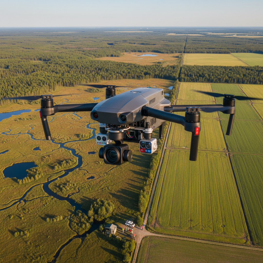


DJI Zenmuse L2 LiDAR System for Matrice 350 RTK - High-Precision Surveying
- Free US shipping on orders $100+
- In stock, ready to ship
- Backordered, shipping soon
Request Quote
This product requires a custom quote. Contact us for pricing and availability.
- Secure Checkout
- 30-Day Money-Back Guarantee
- Fast & Reliable Shipping
Professional LiDAR Surveying System for Matrice 350 RTK
The DJI Zenmuse L2 is a cutting-edge LiDAR surveying system designed for the Matrice 350 RTK enterprise drone. Delivering exceptional 4cm vertical accuracy and 5cm horizontal accuracy, this professional-grade payload captures up to 240,000 points per second for high-precision topographic mapping, surveying, and 3D modeling. The integrated 20MP RGB camera enables simultaneous visual and LiDAR data collection for comprehensive survey-grade results.
Key Features
- 4cm Vertical Accuracy - Survey-grade precision for professional applications
- 5cm Horizontal Accuracy - Exceptional positional accuracy for mapping
- 240,000 Points/Second - High-density point cloud capture
- Integrated 20MP Camera - RGB imaging for visual context and colorization
- Frame LiDAR Technology - Advanced scanning for detailed terrain capture
- RTK Integration - Centimeter-level positioning with Matrice 350 RTK
Perfect For
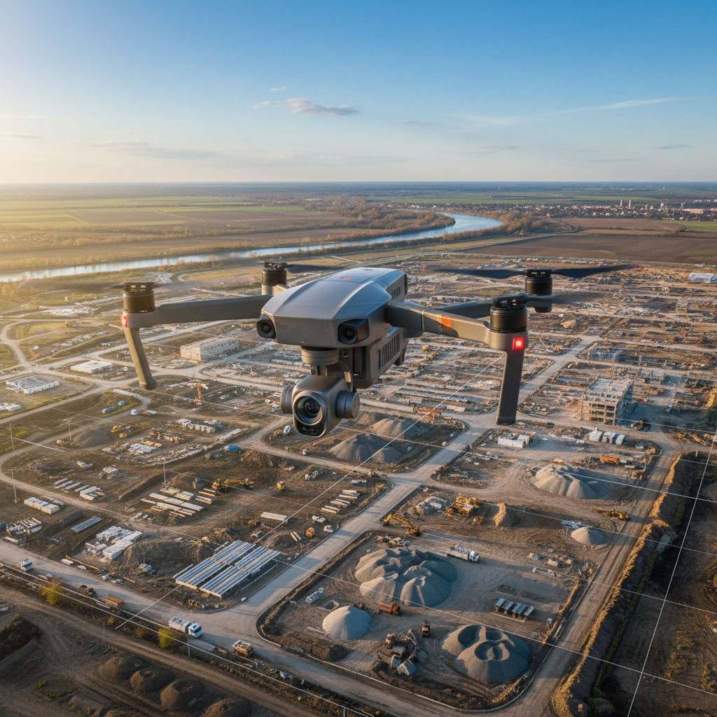
- Topographic surveying and mapping
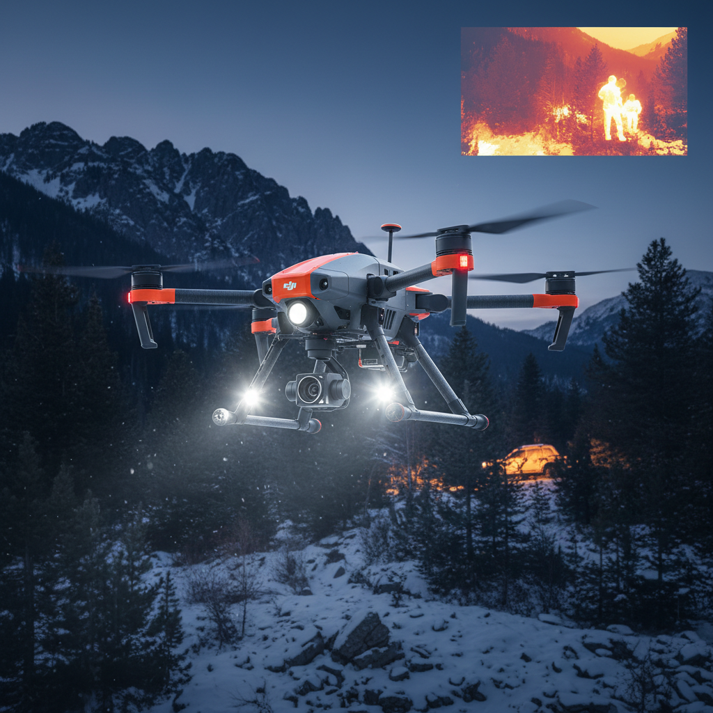
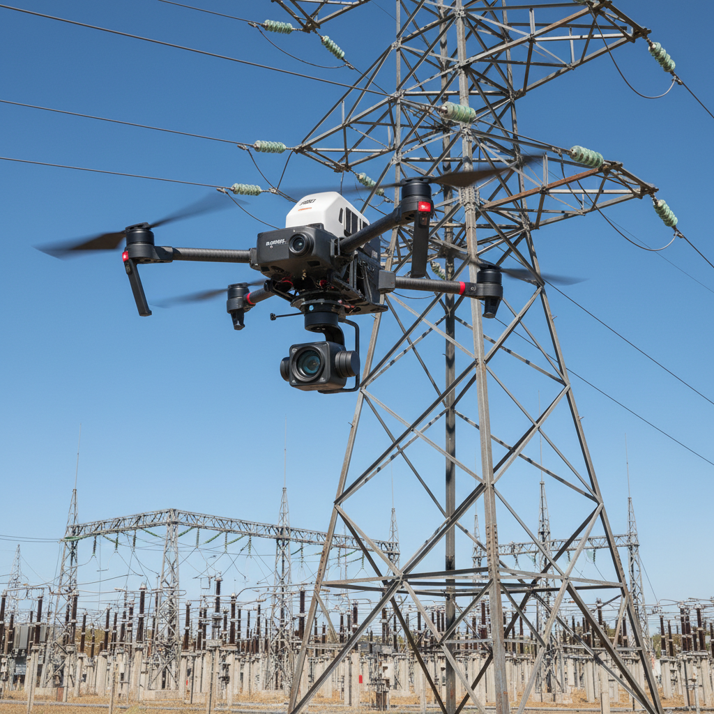
- Infrastructure inspection and documentation
- Mining and quarry volume calculations
- Forestry and vegetation analysis
- Construction site monitoring and progress tracking
- Power line and corridor mapping
- 3D modeling and digital twin creation
Compatible Models
- DJI Matrice 350 RTK
Technical Specifications
- Vertical Accuracy: 4cm @ 50m
- Horizontal Accuracy: 5cm @ 50m
- Point Rate: 240,000 points/second (single return)
- Detection Range: 250m @ 10% reflectivity, 80klx
- Camera: 20MP 1-inch CMOS sensor
- LiDAR Type: Frame LiDAR
- Weight: 2kg
- Operating Temperature: -20°C to 50°C
What's Included
- 1x DJI Zenmuse L2 LiDAR System
- Mounting hardware
- User manual and documentation
Professional Applications
The Zenmuse L2 delivers enterprise-grade LiDAR performance for demanding surveying and mapping applications. The combination of high point density, exceptional accuracy, and integrated RGB imaging enables comprehensive data collection in a single flight. RTK integration with the Matrice 350 ensures centimeter-level positioning for survey-grade results. Compatible with DJI Terra and third-party processing software for complete workflow integration.
Shipping Policy
Estimated Delivery: Orders typically arrive within 3-7 business days to most locations in North America.
International Shipping: Available with tracking. Transit times vary by destination.
Return & Guarantee Policy
Money-Back Guarantee: Not satisfied? We offer a 30-day return policy for a full refund or exchange.
Technical Support: Need help with compatibility or setup? Contact our FPV experts for free assistance.