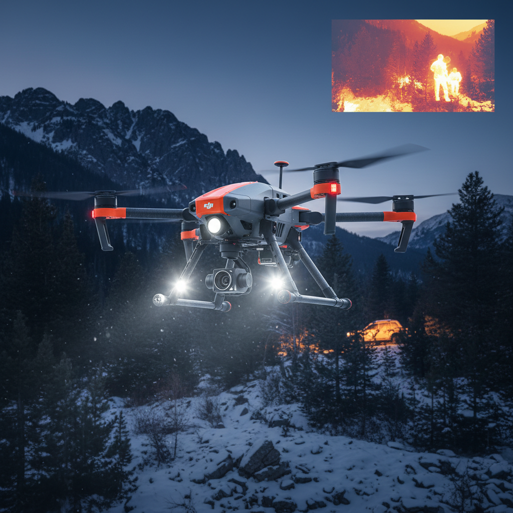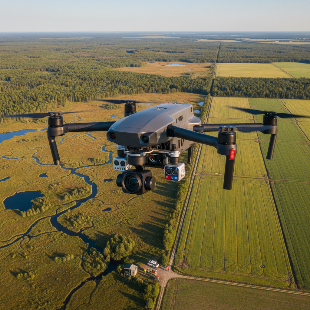


Qianxun Q300 RTK GPS System for Matrice 400 & Enterprise Drones
- Free US shipping on orders $100+
- In stock, ready to ship
- Backordered, shipping soon
Request Quote
This product requires a custom quote. Contact us for pricing and availability.
PayPal — Same-Day Processing
Fastest shipping with same-day processing & Buyer Protection. All credit cards accepted at checkout through Shop Pay (installments available).
Pay Over Time with Affirm & Shop Pay Installments
As low as $114.00/mo with Affirm, or choose Shop Pay Installments at checkout — Prequalify now, no hidden fees
Save 10% at Checkout
Use code SAVE10 for 10% off your order
- Secure Checkout
- 30-Day Defect/Damage Returns
- Fast & Reliable Shipping
Professional RTK GPS Surveying System for Enterprise UAV Operations
The Qianxun Q300 RTK GPS system delivers centimeter-level positioning accuracy for professional drone surveying and mapping applications. Designed for compatibility with DJI Matrice 400 and other enterprise drones, this GNSS RTK solution provides reliable, high-precision positioning for construction, surveying, and geospatial workflows.
Key Features
- Centimeter-Level Accuracy – RTK positioning for precise mapping and surveying data
- Multi-Constellation GNSS – Supports GPS, GLONASS, BeiDou, and Galileo satellite systems
- Matrice 400 Compatible – Optimized for DJI enterprise drone platforms
- Real-Time Corrections – Network RTK support via Qianxun CORS service
- Fast Initialization – Quick RTK fix acquisition for efficient field operations
- Rugged Design – Built for demanding field conditions and professional use
- Long Battery Life – Extended operation time for all-day surveying
Perfect For
- Land surveying and topographic mapping
- Construction site monitoring and layout
- Infrastructure inspection with precise geolocation
- Agricultural field mapping and analysis
- Mining and quarry volume calculations
- GIS data collection and asset mapping
What's Included
- Qianxun Q300 RTK GPS receiver
- Mounting bracket for drone integration
- Rechargeable battery
- Charging cable and accessories
- User manual and technical documentation
- Qianxun CORS network access (subscription may be required)
Technical Specifications
- Positioning Accuracy: Horizontal ±1cm + 1ppm, Vertical ±2cm + 1ppm (RTK mode)
- GNSS Channels: Multi-frequency, multi-constellation
- Supported Systems: GPS, GLONASS, BeiDou, Galileo
- Update Rate: Up to 20Hz
- RTK Initialization: Typically <10 seconds
- Communication: Network RTK via 4G/LTE
- Operating Temperature: -20°C to 60°C
- Weight: Approximately 500g
- Battery Life: 8+ hours continuous operation
Compatibility & Integration
Compatible with DJI Matrice 400, Matrice 350 RTK, and other enterprise drone platforms. Integrates with DJI Terra, Pix4D, and other photogrammetry software for seamless workflow. Requires Qianxun CORS network subscription for network RTK corrections (available in supported regions).
Note: RTK network coverage varies by region. Verify Qianxun CORS availability in your area before purchase. Contact us for government procurement, volume pricing, or technical support.
Shipping Policy
Estimated Delivery: Orders ship within 24–48 hours with full end-to-end tracking. Transit times typically take under 13 days (6–12 business days) to most destinations.
International Shipping: Global fulfillment from our nearest warehouse with tracking provided upon dispatch.
Return & Guarantee Policy
Return Policy: Defective or damaged item? Return it within 30 days for a full refund. Customer pays return shipping.
Technical Support: Need help with compatibility or setup? Contact our US-based FPV experts at (951) 592-5658 for free assistance.