


CHC X10/X10+ GNSS RTK System with Drone Laser Scanner - High-Precision 3D Survey Equipment Measuring
- Free US shipping on orders $100+
- In stock, ready to ship
- Backordered, shipping soon
PayPal Secure Checkout
Use your preferred credit or debit card — no PayPal account needed
Pay Over Time with Affirm
As low as $2,259.27/mo — Prequalify now, no hidden fees
Save 10% at Checkout
Use code SAVE10 for 10% off your order
- Secure Checkout
- 30-Day Defect/Damage Returns
- Fast & Reliable Shipping
Professional GNSS RTK System with Integrated Laser Scanner for Large-Scale Surveying
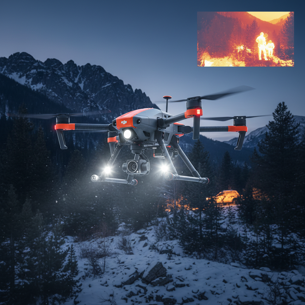
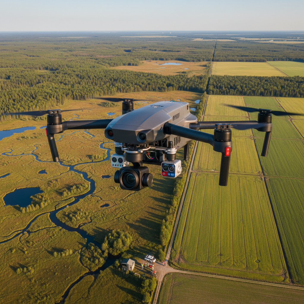
The CHC X10/X10+ GNSS RTK System with Dr-one Laser Scanner is a professional high-precision surveying solution featuring GNSS RTK positioning, integrated 3D laser scanning, and advanced measuring capabilities for large-scale survey projects. This comprehensive survey equipment delivers centimeter-level accuracy, real-time 3D data collection, and professional-grade performance for land surveying, construction, and engineering applications. Perfect for surveyors and engineers requiring integrated GNSS RTK and laser scanning in one professional system.
Key Features
- GNSS RTK System - High-precision satellite positioning
- Dr-one Laser Scanner - Integrated 3D laser scanning
- X10/X10+ Models - Two performance tiers available
- Centimeter-Level Accuracy - Professional surveying precision
- Large-Scale Capability - Designed for extensive survey projects
- 3D Measuring - Comprehensive data collection
Perfect For
- Professional land surveying
- Large-scale construction projects
- Civil engineering surveying
- Infrastructure mapping and inspection
- Topographic surveying
- 3D modeling and mapping
Technical Specifications
- Model: CHC X10/X10+ GNSS RTK System
- Scanner: Dr-one integrated laser scanner
- Technology: GNSS RTK positioning
- Accuracy: Centimeter-level precision
- Application: Large-scale surveying, 3D measurement
- Weight: 3.5kg
- Configuration: Professional survey system
What's Included
- 1x CHC X10 or X10+ GNSS RTK System (select model)
- Dr-one laser scanner (integrated)
- GNSS antenna and receiver
- Controller/data collector
- Battery and charger
- Survey pole and accessories
- Data processing software
- Carrying case
- User manual
What You'll Need
- Computer for data processing
- Optional: RTK base station or NTRIP subscription
Professional Integrated GNSS RTK and Laser Scanning Solution
The CHC X10/X10+ GNSS RTK System with Dr-one Laser Scanner delivers a professional integrated solution combining high-precision GNSS RTK positioning with 3D laser scanning capabilities. The GNSS RTK system provides centimeter-level positioning accuracy for precise surveying. The integrated Dr-one laser scanner enables real-time 3D data collection for comprehensive site documentation. Choose between X10 or X10+ models based on your performance requirements. Perfect for professional land surveying, large-scale construction projects, civil engineering surveying, infrastructure mapping and inspection, or topographic surveying requiring both precise positioning and 3D scanning. The integrated design streamlines workflows by combining two essential surveying technologies in one professional system.
Shipping Policy
Estimated Delivery: Orders typically arrive within 3-7 business days to most locations in North America.
International Shipping: Available with tracking. Transit times vary by destination.
Return & Guarantee Policy
Return Policy: Defective or damaged item? Return it within 30 days for a full refund. Customer pays return shipping.
Technical Support: Need help with compatibility or setup? Contact our FPV experts for free assistance.