


100% Authentic
Direct from authorized distributors
30-Day Defect Returns
Full refund for defective or damaged items
Manufacturer Warranty
Full warranty included with every order
Expert Support
US-based professional support team
Global Shipping
Insured global delivery from nearest warehouse
PayPal Same-Day Processing
Fastest shipping via PayPal same-day dispatch; all cards accepted at checkout through Shop Pay
Stock Status
In stock
Fast Dispatch
Ships in 1-2 business days
Free Shipping
Orders $100+
Save 10%
Use code SAVE10 at checkout
Real feedback from verified buyers on quality and performance
"Professional-grade equipment at a fair price. Build quality is solid and it performs exactly as described. TheDroneFlight's support team was knowledgeable and helpful. Highly recommend."
"Solid build quality, arrived quickly and well-packaged. Exactly what I needed for my setup. The product matches the description perfectly. Will buy from TheDroneFlight again."
"Product is excellent and the support from TheDroneFlight sets them apart. They answered my questions before purchase and helped with setup after. US-based support makes a real difference."
"Good quality and performs as expected. Shipping was fast. Had a minor question about setup and support responded quickly. Overall a positive experience."
"Have ordered multiple times from TheDroneFlight and they consistently deliver. Products are genuine, shipping is fast, and support is responsive. A trustworthy source for professional drone equipment."
Questions about this product?
Contact SupportSee how pilots and builders trust TheDroneFlight for quality gear and expert support
Regional Drone Racing League
"Our team relies on TheDroneFlight for competition-ready gear. Fast shipping, genuine products, and expert support when we need it. They understand what racers need."
Professional FPV Cinematographers
"Quality gear makes the difference between getting the shot and going home empty. TheDroneFlight consistently delivers authentic products with fast, tracked shipping."
FPV Builders & Enthusiasts
"The go-to source for build components. Compatibility help from their support team saved me from buying the wrong parts. Quality products, fair prices, and knowledgeable staff."
Community Pilots Worldwide
"Ships globally from the nearest warehouse, which means I get my gear fast no matter where I'm flying. TheDroneFlight has earned our community's trust through consistent reliability."
Questions about this product?
Contact Our TeamReal professionals and enterprises showcase thermal imaging, inspections, and search & rescue operations
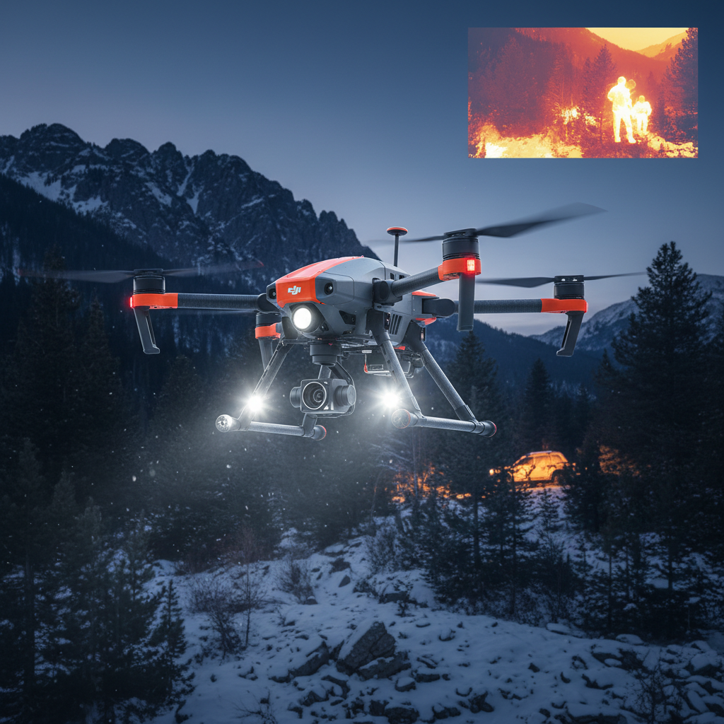
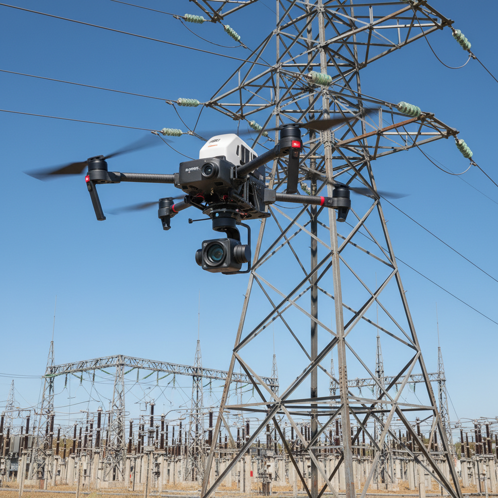
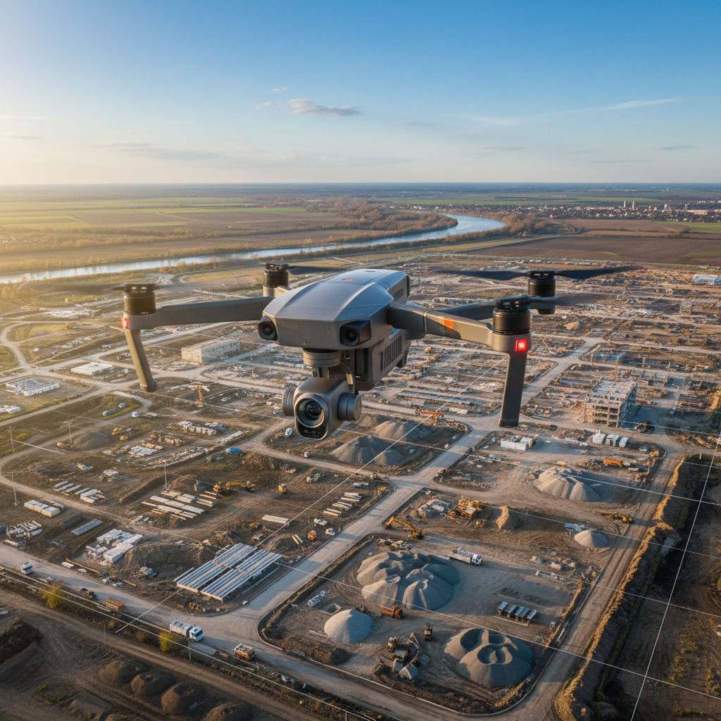
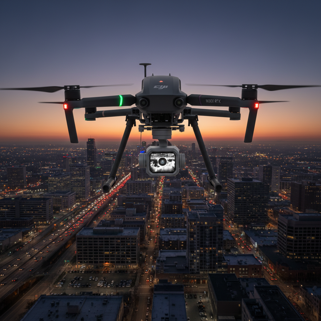
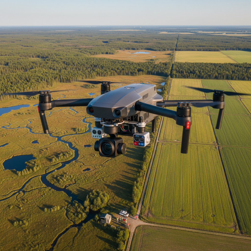

Discover how leading organizations transform operations with our enterprise drone solutions. Get a custom quote within 24 hours.
Quality product with everything needed to get started
As described in product listing
Mounting hardware & cables as applicable
Setup guide & warranty information
30-day defect return coverage
Quality Guaranteed
Every product is verified before shipping. 30-day defect returns and free US-based expert support on all orders.
Experience the real-world capability and excitement of flying. From stunning aerial footage to thrilling freestyle maneuvers.


We provide FREE standard shipping on all orders over $100 within the United States.
We back our products with a strict 30-Day Defective/Damaged Item Replacement & Refund Guarantee:
We accept all major credit and debit cards (Visa, Mastercard, American Express, Discover) at checkout powered through Shop Pay, as well as PayPal, Shop Pay Installments, and Affirm.
Our dedicated US-based support team provides setup consultation, order assistance, and B2B procurement guidance.
Direct Support Guarantee
Speak with knowledgeable drone and FPV equipment specialists before and after your purchase.
We've built a quick guide to help you find the perfect match for your FPV drone
Our FPV experts are ready to help you find the perfect components for your drone.
Get Expert GuidanceNote: Full regulatory approval & export licenses available. Contact sales for details.
