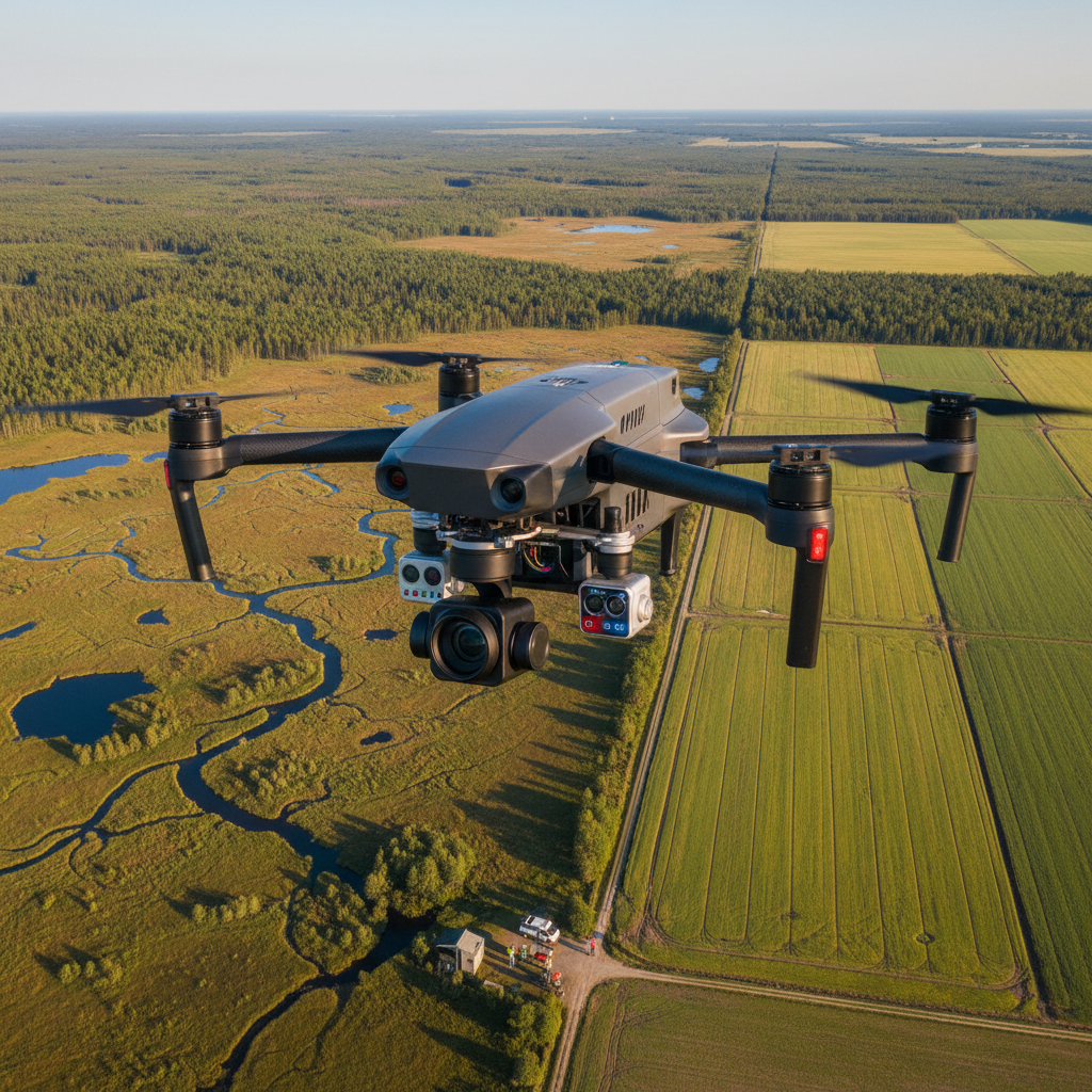


GS-100C High-Resolution LiDAR UAV 3D Modeling Scanning System
- Free US shipping on orders $100+
- In stock, ready to ship
- Backordered, shipping soon
Request Quote
This product requires a custom quote. Contact us for pricing and availability.
PayPal Secure Checkout
Use your preferred credit or debit card — no PayPal account needed
Pay Over Time with Affirm
As low as $70.83/mo — Prequalify now, no hidden fees
Save 10% at Checkout
Use code SAVE10 for 10% off your order
- Secure Checkout
- 30-Day Defect/Damage Returns
- Fast & Reliable Shipping
Professional High-Speed LiDAR System for UAV 3D Modeling and Surveying
The GS-100C is a professional-grade LiDAR scanning system designed for UAV-mounted 3D modeling, surveying, and mapping applications. Combining high-speed data acquisition with exceptional resolution, this advanced system delivers precise point cloud data for topographic mapping, infrastructure inspection, forestry analysis, and industrial surveying projects.
Key Features
- High-Speed Data Acquisition - Rapid scanning for efficient large-area coverage
- High-Resolution Output - Precise point cloud data for detailed 3D models
- UAV-Optimized Design - Lightweight and compact for drone integration
- Professional 3D Modeling - Generate accurate terrain and structure models
- Easy to Operate - User-friendly interface and workflow
- 2-Year Warranty - Comprehensive coverage and support
- Versatile Applications - Surveying, mapping, inspection, and analysis
Perfect For
- Topographic surveying and mapping
- Infrastructure inspection and monitoring
- Forestry and vegetation analysis
- Mining and quarry surveying
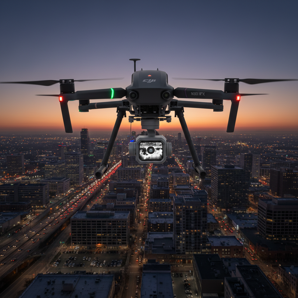
- Urban planning and development
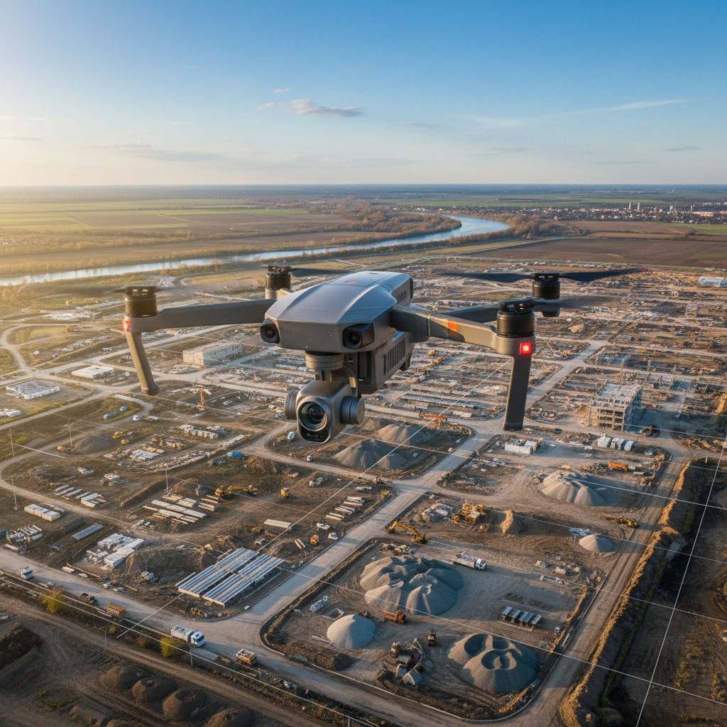
- Construction site monitoring
- Archaeological documentation
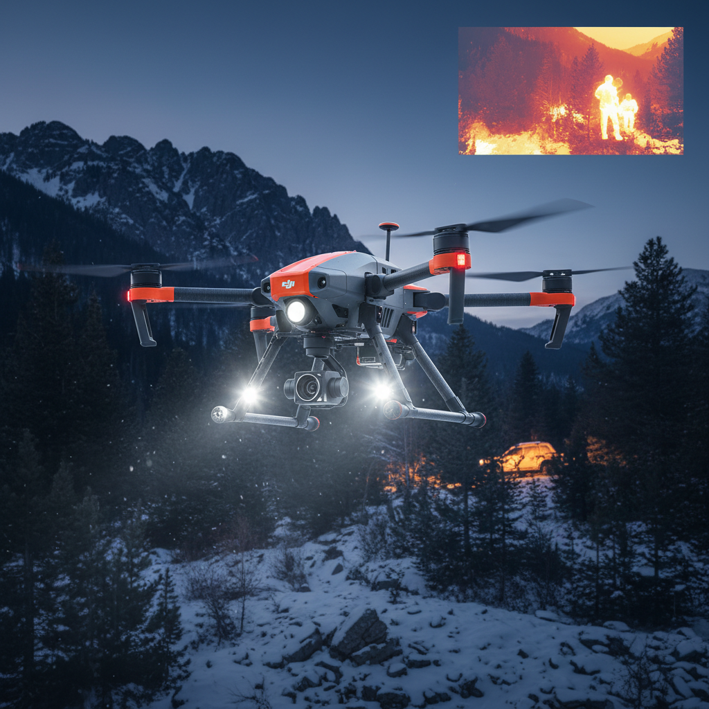
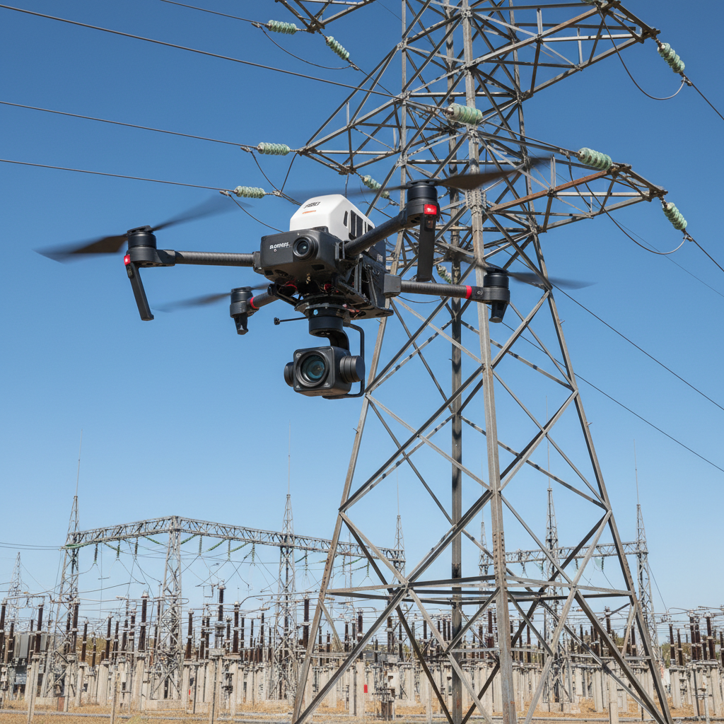
- Power line and pipeline inspection
Technical Specifications
- Model: GS-100C
- System Type: LiDAR UAV 3D Modeling System
- Application: Aerial surveying and mapping
- Weight: 9kg
- Warranty: 2 years
- Origin: China
- Key Features: Easy to operate, high-speed, high-resolution
LiDAR Technology Benefits
High-Speed Scanning
The GS-100C's high-speed data acquisition enables efficient coverage of large areas, reducing flight time and operational costs while maintaining exceptional data quality.
High-Resolution Point Clouds
Generate detailed, high-resolution point cloud data suitable for creating accurate 3D models, digital elevation models (DEMs), and precise measurements for professional applications.
UAV Integration
Designed specifically for UAV mounting, the GS-100C provides the perfect balance of performance and portability for aerial LiDAR surveying missions.
Applications
- Topographic Surveying: Create accurate terrain models and contour maps
- Infrastructure Inspection: Monitor bridges, roads, and buildings
- Forestry Management: Analyze canopy height, biomass, and vegetation
- Mining Operations: Volume calculations and site monitoring
- Urban Planning: 3D city modeling and development planning
- Construction Monitoring: Track progress and verify as-built conditions
- Archaeological Surveys: Document sites with minimal ground disturbance
- Utility Inspection: Power lines, pipelines, and transmission corridors
System Advantages
- Professional-grade accuracy for commercial projects
- Efficient data collection reduces field time
- Compatible with standard UAV platforms
- User-friendly operation and workflow
- Comprehensive 2-year warranty
- Lifetime online technical support
- International shipping available
What's Included
- 1× GS-100C LiDAR Scanning System
- Mounting hardware and accessories
- Software for data processing and analysis
- User manual and documentation
- 2-year warranty coverage
What You'll Need
- Compatible UAV platform (specifications provided)
- Computer for data processing and analysis
- GPS/GNSS system for georeferencing
- IMU (Inertial Measurement Unit) for positioning
- Power supply compatible with your UAV
Support & Warranty
2-Year Warranty
Comprehensive 2-year warranty coverage with lifetime online technical support from English-speaking technicians via email, WhatsApp, and remote assistance.
Technical Support
- English-speaking technicians available online
- Email and WhatsApp support
- Remote PC control via TeamViewer for software issues
- Lifetime online support
International Shipping
We ship internationally via sea, air, train, truck, and multimodal transport to almost every location worldwide. Contact us for shipping quotes to your destination port or specific address.
Why Choose Us
- Safe trading with verified supplier
- Extremely particular about product quality
- 2-year warranty with lifetime online support
- Wide range of UAV and surveying products
- International shipping to most destinations
- Professional technical support team
Payment & Ordering
Contact our sales team to request a proforma invoice. We accept bank transfer (recommended) and Wire transfer for international orders. The system will be shipped after payment confirmation.
Important Notes
- Professional LiDAR system for commercial surveying applications
- Requires compatible UAV platform for operation
- 2-year manufacturer warranty included
- Lifetime online technical support
- International shipping available (contact for quote)
- Weight: 9kg (system only)
- Total shipping weight: approximately 13kg
- Requires GPS/GNSS and IMU for accurate georeferencing
- Software included for data processing
- Professional training and support available
Shipping Policy
Estimated Delivery: Orders typically arrive within 3-7 business days to most locations in North America.
International Shipping: Available with tracking. Transit times vary by destination.
Return & Guarantee Policy
Return Policy: Defective or damaged item? Return it within 30 days for a full refund. Customer pays return shipping.
Technical Support: Need help with compatibility or setup? Contact our FPV experts for free assistance.